Download sample
File Details
Published: 2019-01-17 03:14:48.674997 Category: Graphic Resources Type: Illustration Model release: NoShare
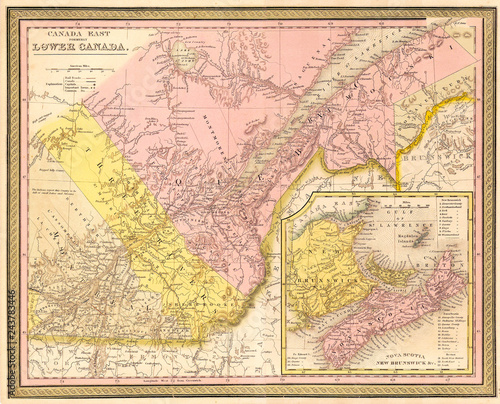
1850, Mitchell Map of Eastern Canada including Quebec
Contributor: PicturePast
ID : 243783446
)
Keywords
1850, topography, cartography, geography, land, illustration, geographic, travel, chart, grid, latitude, longitude, geometric, atlas, map, vintage, ancient, history, earth, paper, old, retro, earth, art, historical, decorative, navigation, aged, historic, journey, discovery, exploration, geographical, space, regionRelated items
-

#243754755
-
#244646216
-
#243651895
-
#42423240
-
#243655116
-
#243719573
-
#25684547
-
#243784914
-
#49207261
-
#49732663
-
#49207263
-
#261730726
-
#260923300
-
#243773240
-
#261217708
-
#243471525
-
#49517612
-
#260939397
-
#243634278
-
#262167691
-
#243730038
-
#243789012
-
#261733820
-
#243769756
-
#260661678
-
#243642200
-
#243417691
-
#243640390
-
#243419731
-
#50465494
-
#243668755
-
#261730004