Download sample
File Details
Published: 2022-08-04 14:44:52.516385 Category: Graphic Resources Type: Illustration Model release: NoShare
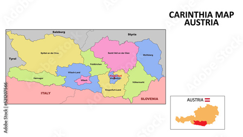
Carinthia Map. State and district map of Carinthia. Political map of Carinthia with neighboring countries and borders.
Contributor: awesome artt
ID : 521207566
)
Keywords
abstract, art, austria, austrian, background, banner, border, cartography, circle, clothes, contour, country, design, detail, dot, dot, dotted, ensign, europa, federal, felt, fresh, geography, graphic, grass, grey, grey, illustration, isolated, land, lawn, map, mesh, national, outline, pattern, point, round, state, structure, symbol, textile, texture, travel, vector, wave, earthRelated items
-

#186652277
-
#406501017
-
#670447932
-
#689450019
-
#528503091
-
#444800799
-
#422347649
-
#673191977
-
#607474221
-
#449635972
-
#407116084
-
#258455931
-
#516114635
-
#374316074
-
#345158413
-
#693082073
-
#608010013
-
#295027087
-
#111864251
-
#167907012
-
#484166894
-
#610911147
-
#440650451
-
#524183738
-
#528782831
-
#175140892
-
#511208184
-
#737910236
-
#481312454
-
#289985134
-
#552099976
-
#438581426