Download sample
File Details
Published: 2021-08-24 21:07:57.116238 Category: Technology Type: Photo Model release: NoShare
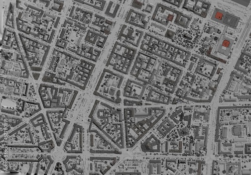
Digital elevation model. GIS product made after proccesing aerial pictures taken from a drone. It shows city urban area with roads and suburbs
Contributor: Ungrim
ID : 452780891
)
Keywords
map, city, datum, architecture, aerial, scan, cartography, area, building, elevation, three-dimensional, system, laser, street, land, suburban, industrial, asphalt, building, concrete, map, topography, site, technology, professional, engineering, geology, house, industry, inspection, investigation, living, model, survey, surveying, terrain, topographic, transportationRelated items
-

#569221975
-
#477719632
-
#477594809
-
#589077752
-
#105752834
-
#21936696
-
#123923517
-
#316177005
-
#775671830
-
#105752828
-
#459773528
-
#105508043
-
#327830280
-
#400553452
-
#401373984
-
#427973714
-
#592236451
-
#353193023
-
#723263298
-
#404624530
-
#173240399
-
#312062795
-
#278334968
-
#649149510
-
#436511691
-
#384926695
-
#328362017
-
#340449551
-
#80848004
-
#21728474
-
#144378640
-
#474914530