Download sample
File Details
Published: 2022-06-09 15:42:48.712739 Category: Science Type: Illustration Model release: NoShare
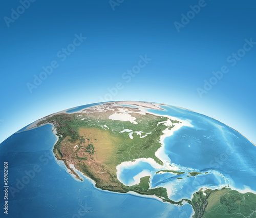
Physical map of Planet Earth, focused on North America, USA, Canada, Mexico and Central America. 3D illustration - Elements of this image furnished by NASA
Contributor: mozZz
ID : 509821681
)
Keywords
us, america, map, satellite, earth, geography, globe, planet, physical, us, north america, central america, cartography, topography, detailed, earth, continent, american, mexico, canada, us, sky, blue, global, planet earth, sphere, science, atlas, land, distant, view, three-dimensional, illustration, three-dimensional, surface, day, planisphere, greenland, north, central, caribbean, atlantic, pacific, oceanRelated items
-

#855610720
-
#192751815
-
#724588844
-
#539224891
-
#277086655
-
#838169086
-
#780453450
-
#26601184
-
#160645736
-
#109613046
-
#585343298
-
#301122727
-
#769938033
-
#187234143
-
#129523223
-
#19585965
-
#420516816
-
#272423847
-
#754234004
-
#871923190
-
#39153012
-
#863139483
-
#855610634
-
#526495631
-
#835023764
-
#310230612
-
#607401569
-
#140428496
-
#855610420
-
#826361725
-
#165458609
-
#60826416